Visualise your ecosystems from above
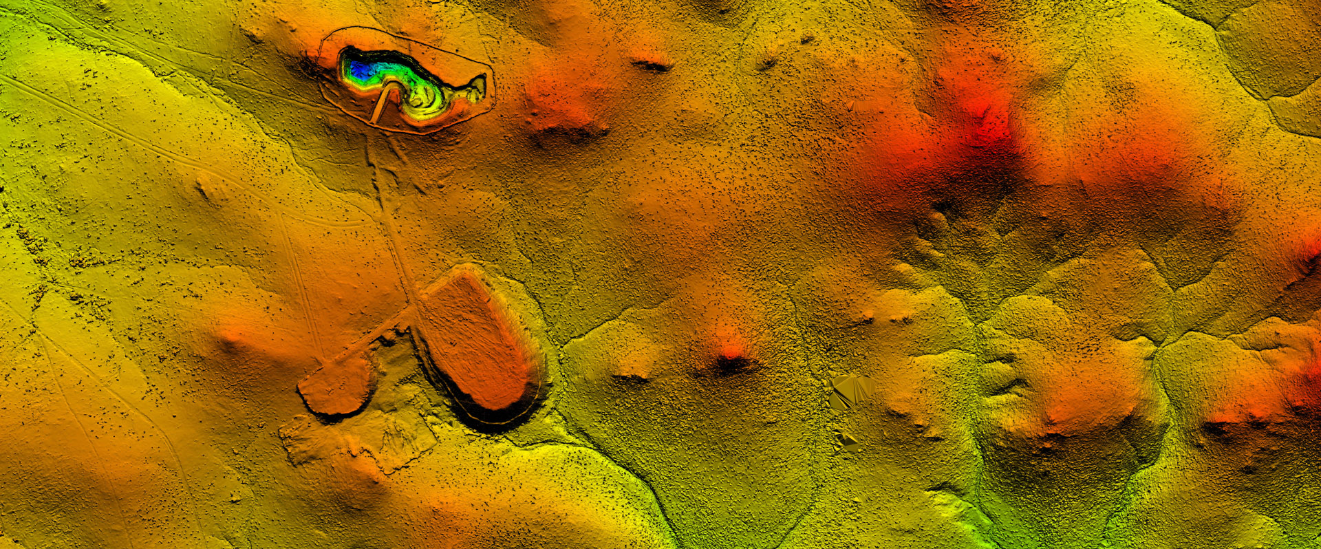
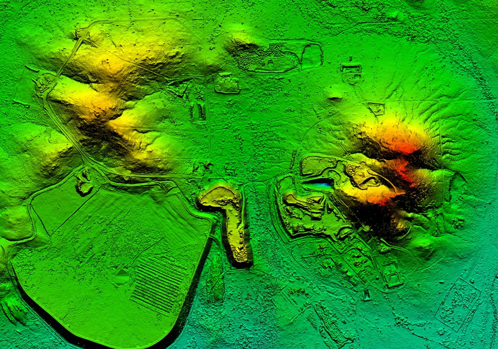
The Ecoda platform integrates multi-scale remote sensing data from satellites, LiDAR, aerial surveys and drones to deliver comprehensive ecological insights. Our flexible approach lets you leverage existing datasets, capture your own imagery, or work with our trusted partners to acquire custom data that precisely matches your project requirements and budget.

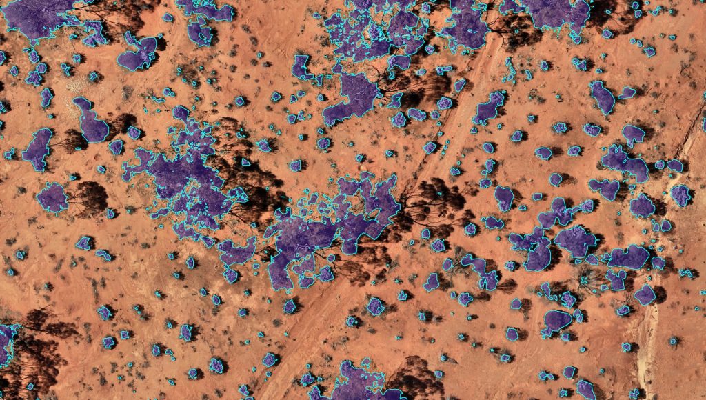
Use a range of remote sensing data types, including satellite, LiDAR, aerial and drone
Access multi-scale remote sensing data, from high-resolution site-level details to comprehensive landscape assessments. Leverage existing datasets or enhance your data capture programs for maximum operational efficiency. Utilise historical archives for powerful trend analysis, delivering valuable long-term perspective for ecological monitoring and informed management decisions.

Capture your own drone data
Capture high-quality remote sensing data on your own schedule with in-house personnel. The DJI Mavic 3 Multispectral drone simplifies data collection with RTK positioning, dual sensors, and a 43-minute flight time. This drone weighs less than 2 kilograms and is optimised for the Ecoda platform. Our specialists provide on-site training and ongoing technical support, ensuring your team can efficiently capture accurate, actionable data.

Engage our trusted data acquisition providers
Our data partners are leaders in remote sensing, equipped with the latest technology to deliver high-quality, high-accuracy data. From acquisition to seamless integration into Ecoda, we ensure a streamlined process that meets your specifications, saving you time and effort while delivering reliable results.
FAQs
Explore our Data Collection FAQs for more information
Submit an online enquiry