
Spatial data intelligence
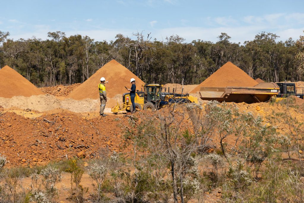
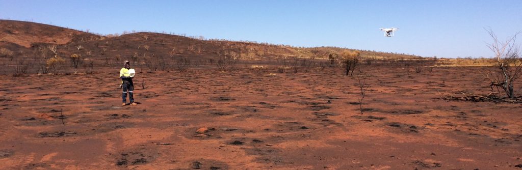
Our multidisciplinary team employs advanced field instruments, telemetry-enabled IoT devices and diverse remote sensing platforms to collect data and build AI-powered scientific models. We leverage UAVs, aircraft and satellite sensors to deliver high-quality data, transforming RGB, multispectral, hyperspectral, LiDAR and radar information into actionable insights.
Comprehensive earth observation and geospatial services
Ecocene’s Earth Observation team provides a range of geospatial services that encompass the acquisition, analysis, integration, visualisation and management of geospatial data.

Vegetation mapping (community/species/health)
We create detailed maps of vegetation communities, species distributions and health status using advanced remote sensing techniques and field verification.

Vegetation time series classification and change analysis
We analyse multi-temporal imagery to classify vegetation types and quantify changes over time, identifying trends and disturbance impacts.

Groundwater dependent vegetation mapping
We identify and map vegetation communities reliant on groundwater access using specialised remote sensing indicators and hydroecological relationships.

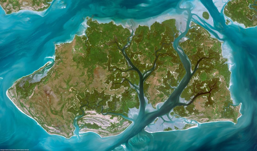
Mangrove and coastal vegetation mapping
We delineate and classify coastal vegetation systems with high precision, tracking ecological health and ecosystem dynamics.

Urban forest and land use mapping
We map tree canopy coverage and land use patterns in urban environments, supporting green infrastructure planning and heat island mitigation.

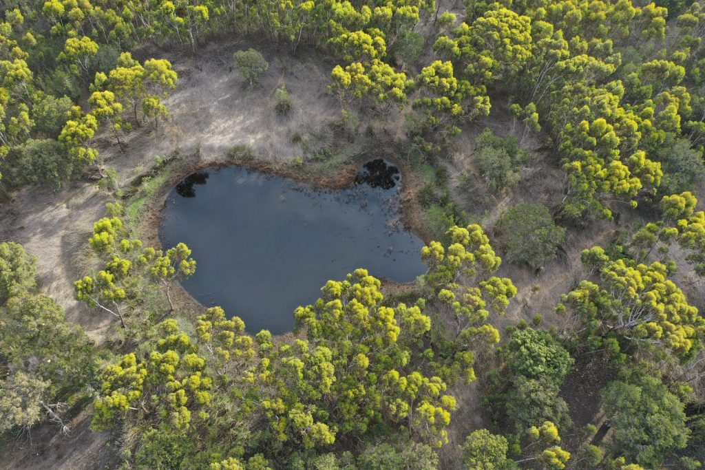
Wetlands and flood mapping
We identify wetland extents and flood inundation areas using specialised hydrological remote sensing techniques and temporal data analysis.

Soil moisture and surface wetness mapping
We generate spatial data on soil moisture conditions using SAR, other microwave sensors, and optical remote sensing to support drought monitoring and land management.

Land surface temperature and urban heat mapping
We produce detailed temperature maps identifying heat patterns and anomalies for urban planning and environmental management applications.

Fire and fire scar mapping
We map active fires and burn scars to assess impact extent, severity and recovery trajectories using specialised spectral analysis techniques.

Fauna habitat and species mapping
We develop predictive habitat suitability maps based on environmental variables and species occurrence data for conservation planning.

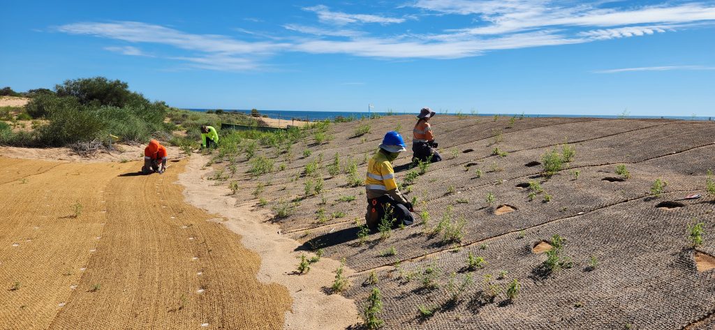
Dune restoration and coastal stability mapping
We assess dune morphology and stability using LiDAR and photogrammetry to support coastal management and restoration initiatives.

Marine benthic habitat and bathymetric mapping
We map underwater habitats and seafloor topography using specialised sensors and processing techniques for marine impact assessment and spatial planning.

Water quality mapping
We analyse spectral signatures of water bodies to map parameters such as turbidity, chlorophyll and dissolved organic matter distributions.

Biodiversity metrics and assessments
We generate quantitative biodiversity indicators through our Ecoda platform, providing standardised metrics for conservation and compliance.

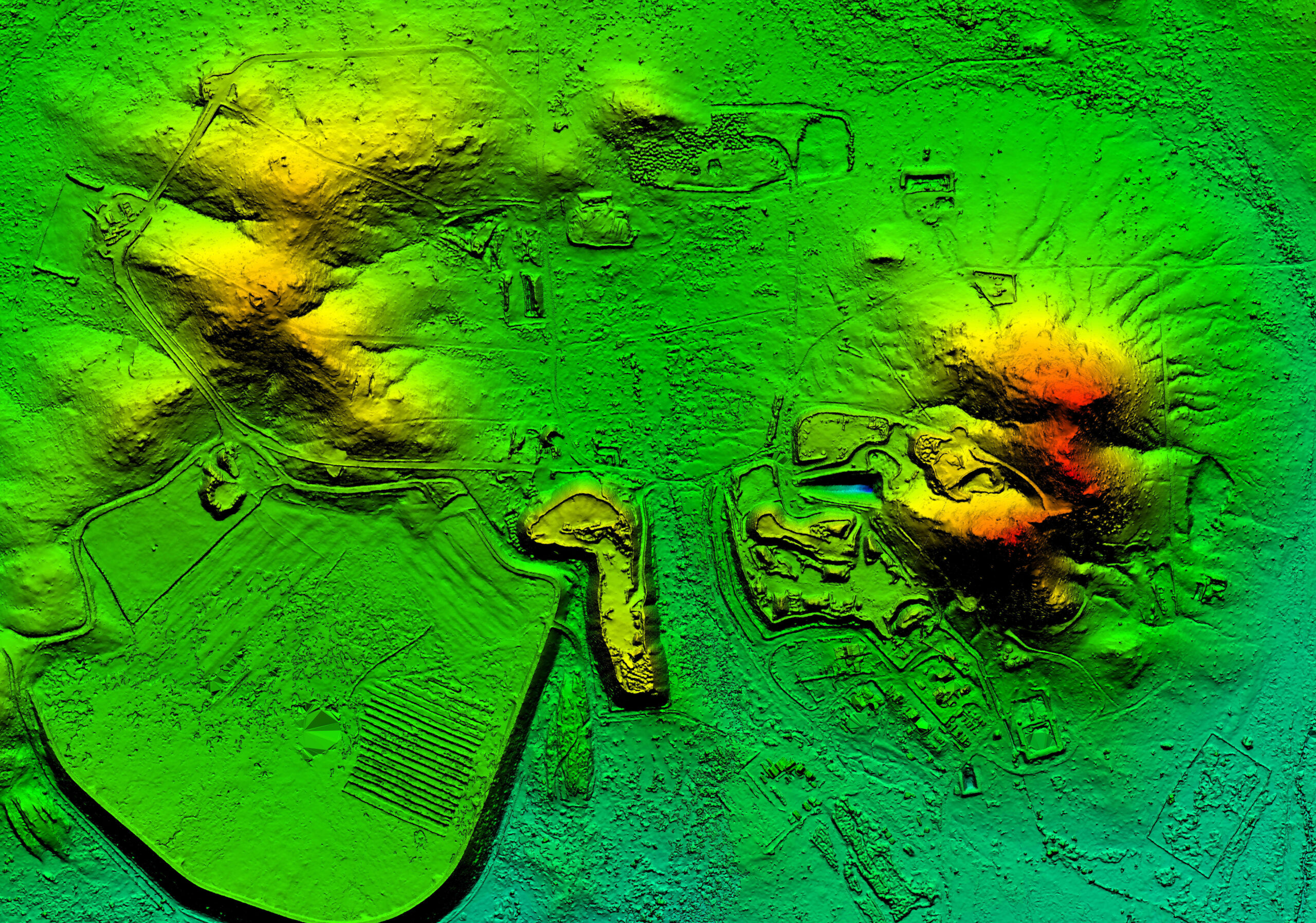
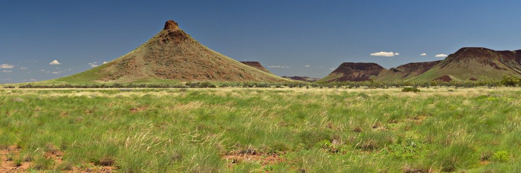
Landform metrics and assessments
We analyse terrain characteristics and quantify landform parameters through our Ecoda platform for geomorphological assessment and monitoring.

Multi-Criteria spatial analysis
We integrate multiple spatial datasets to identify optimal locations for conservation, restoration or development based on specified criteria.

GIS and cartographic services
We produce professional maps, spatial analyses and geodatabases using cutting-edge GIS technologies and cartographic principles.

Ecostatistical analysis
We apply specialised statistical methods to ecological spatial data, identifying patterns, relationships and significance in environmental variables.

Multispectral and hyperspectral data processing
We process and analyse imagery across multiple spectral bands to extract detailed environmental information invisible to standard sensors.

SAR/InSAR data processing
We process radar imagery to detect vegetation characteristics, soil moisture, surface changes, and structural features regardless of cloud cover or lighting conditions.

LiDAR elevation modelling
We create high-precision 3D terrain models using laser scanning data for detailed topographic analysis and vegetation structure assessment.

Advanced modelling using machine and deep learning technologies
We develop custom AI models that extract patterns from complex environmental data for automated classification and prediction applications.

Validation and calibration using field and lab measurements
We ensure remote sensing accuracy through strategic field verification, ensuring our analysis delivers ground-truthed, reliable ecological information.
Our partners


Unlock powerful perspectives from above
Harness the full potential of earth observation for your ecological projects.
Enquire now to start the process.
Your advantages
Cover more ground, more often
Monitor hard to reach places
Enjoy data-driven decision support
Submit an online enquiry